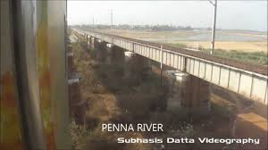
The watershed of the Penna and its tributaries covers part of the southernDeccan plateau, including most of the Rayalaseema region of Andhra Pradeshand part of Karnataka. The Kolar Plateau forms the divide between the Penna watershed and those of the Kaveri, Ponnaiyar, and Palar rivers to the south. The Krishna River and its tributaries drain the Deccan plateau to the west and north of the Penna's watershed, and the lowErramala hills forms the northern divide of the Penna basin. The Penna then flows east through a gap in the Eastern Ghats ranges onto the plain of Coastal Andhra, flowing through Nellore city before it empties into the Bay of Bengal at a place called Muttukuru, 15 km east of Nellore.

No comments:
Post a Comment